Network Capacity
Following planning permission being granted for Boulton Moor 2 we have worked with the Local Planning Authority to further understand the local conditions and the required offsite highway works.
A Transport Assessment and Framework Travel Plan will be submitted with our planning application to support these development proposals. The Transport Assessment will detail and assess the capacity of the local roads, public transport provision, road safety and the need for any mitigation required support the delivery of a sustainable highway solution. The Framework Travel Plan will set out a series of measures aimed at reducing single occupancy car trips and promoting walking, cycling and public transport modes.
Committed offsite highway network
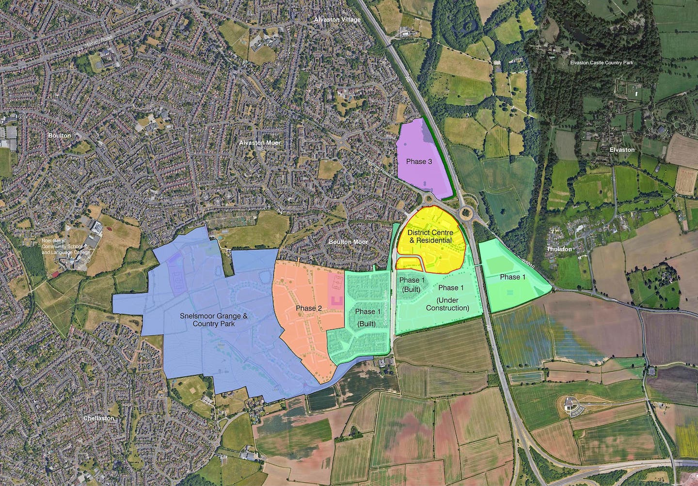
The A6(T) and Shardlow Road/Chellaston Lane roundabouts are located immediately north of the site. Improvements to these junctions has been secured through the permitted Boulton Moor Phase 2 development and will also be secured through the Snelsmoor Grange development which is currently being determined by the Local Planning Authority. These works will include the installation of traffic lights in combination with carriageway widening to improve the operation of this area. The offsite highway works include junction and traffic light improvements to the Alvaston District Centre.
Site access
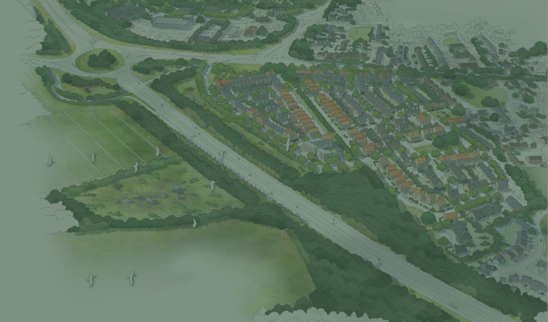
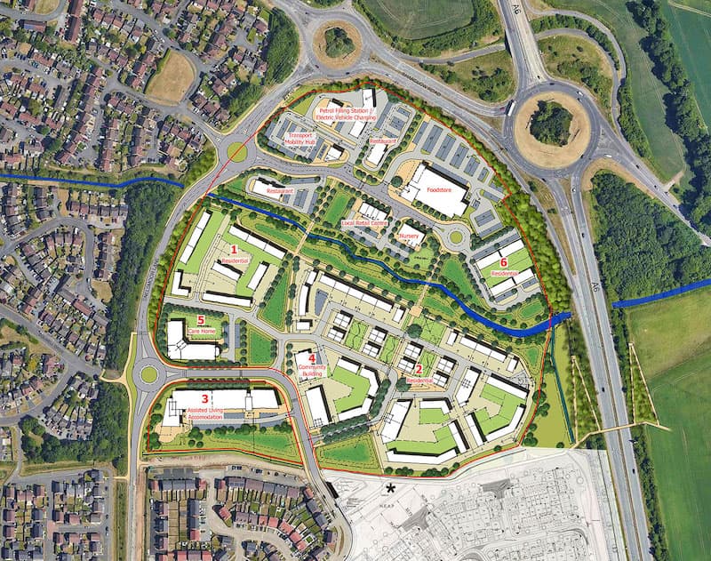
Access to the site will be via a new four arm roundabout junction on Chellaston Lane at the junction with Woods Meadow. The capacity of the roundabout has been tested using industry standard software and traffic forecasting methodology.
Internal highway layout
The new development within the site will be accessed from a central spine road which terminates at an internal roundabout, this will allow all vehicles to enter and leave the site in a forward motion and to safely move around the site.
Car and cycle parking
Car parking will be provided in accordance with the Local Authority’s guidelines and operator known requirements. A car park accumulation assessment has been carried out to assess the demand on parking and car park availability so that the site works efficiently.
Cycle parking will be provided in accordance with the Local Authority’s guidance. The demand for cycle parking will be reviewed and managed through the implementation of a Travel Plan.
Walking and cycling
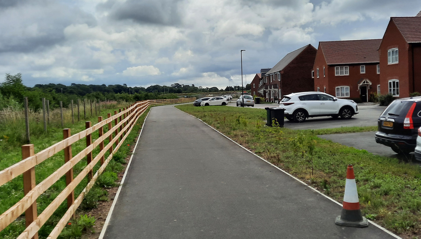
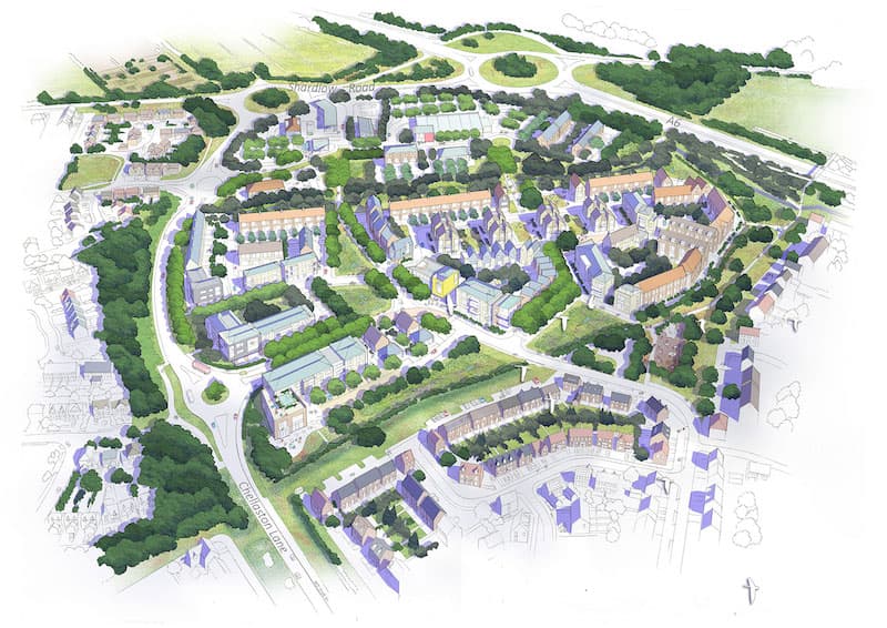
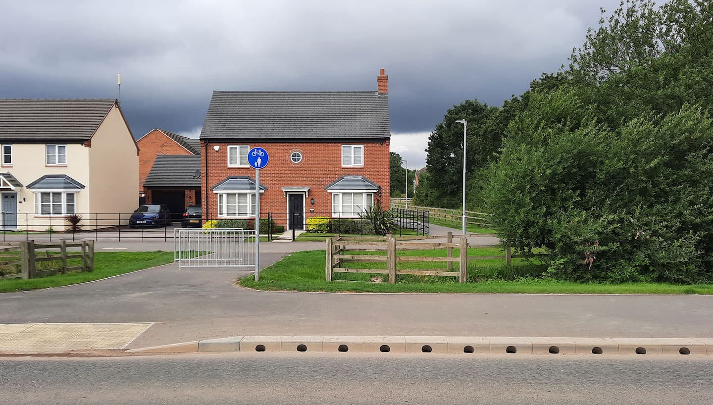
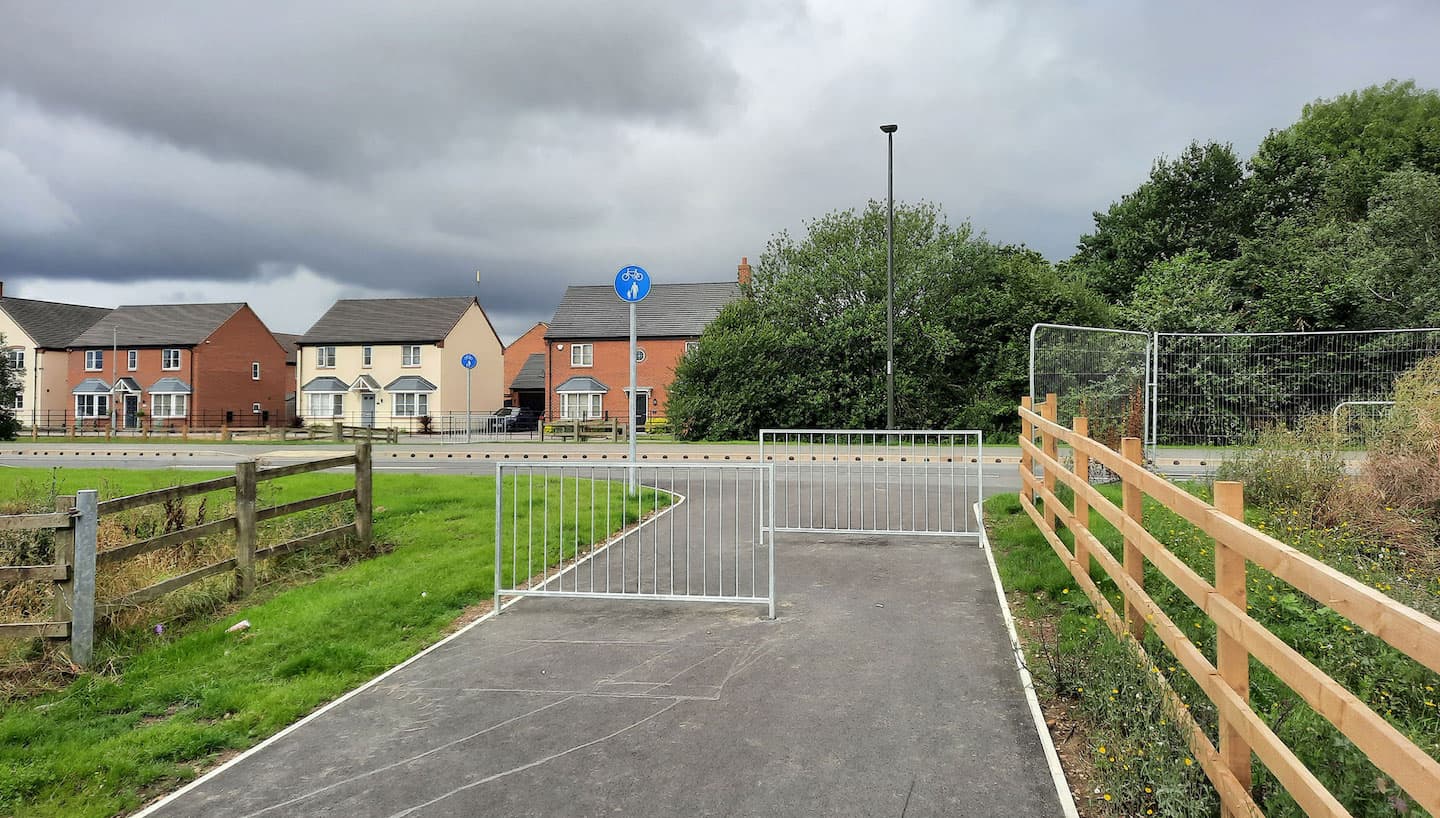
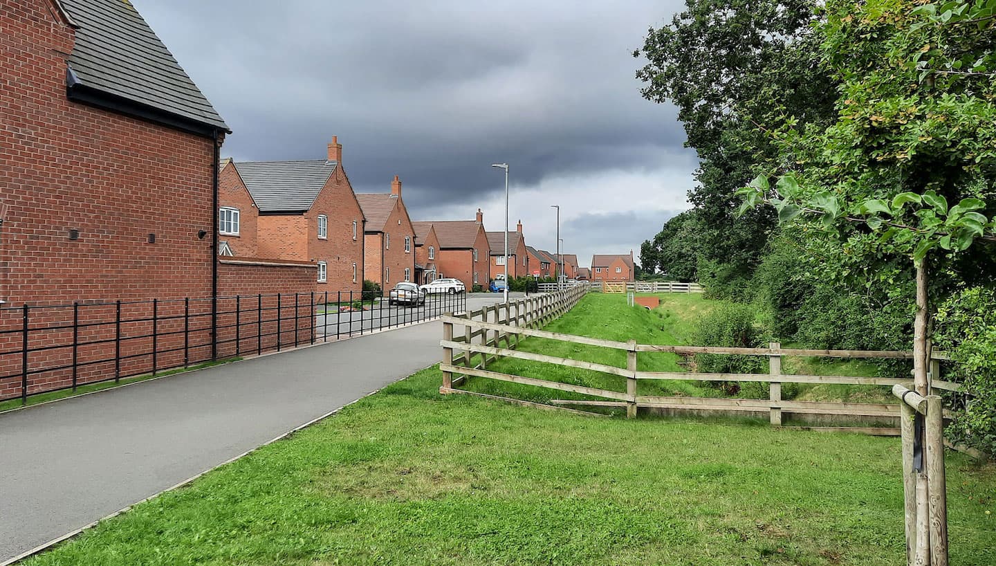
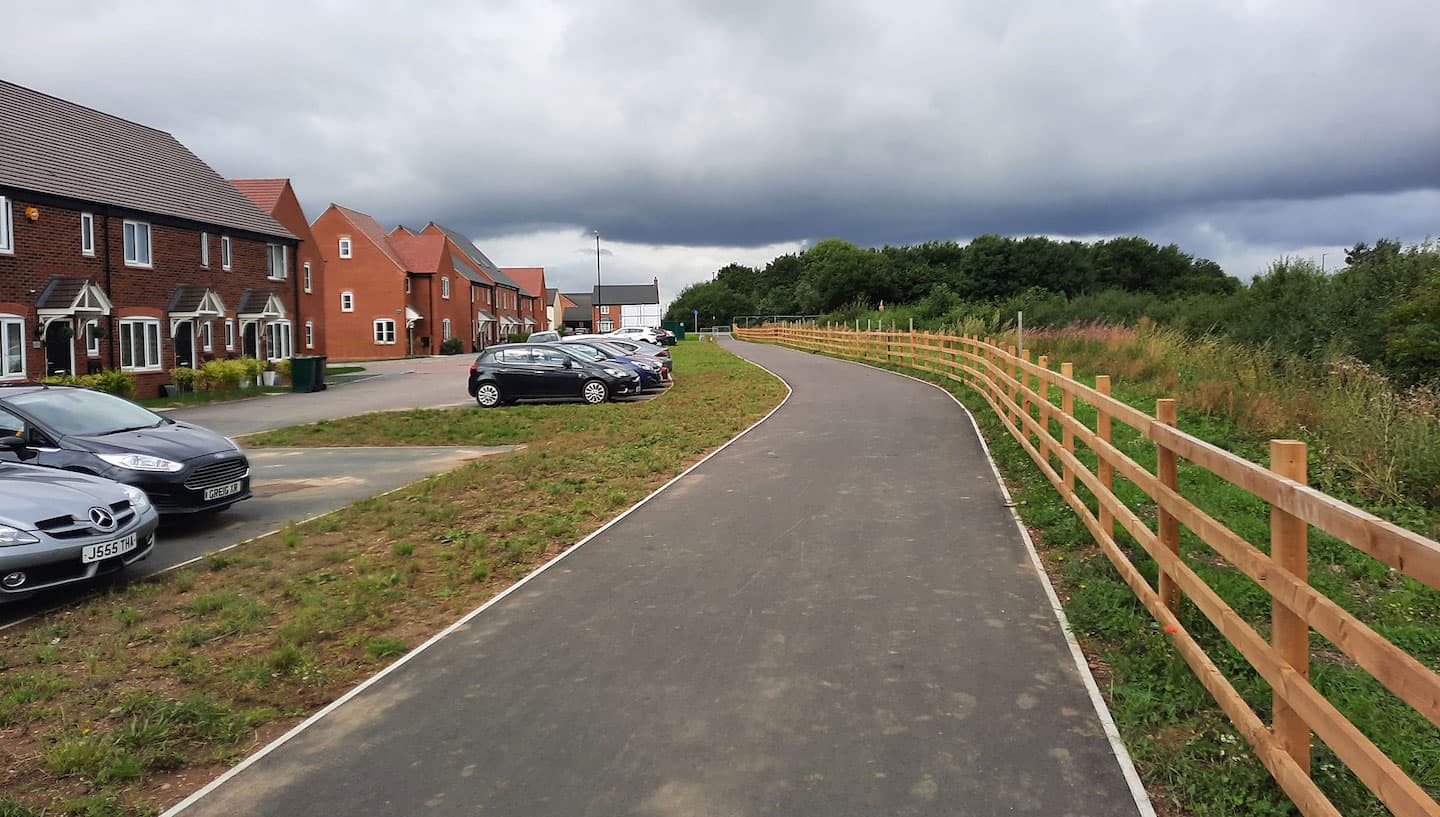
The adjacent development sites (Boulton Moor Phases 1 and 2 ) are committed to providing a number of walking and cycling improvements, including footways and traffic signal controlled pedestrian and cycle crossings. Our proposals will include multiple internal connections with external connection linking the District centre to its surrounding. Offsite improvements along Chellaston Lane will include extending the shared footway/cycleway links and providing additional pedestrian crossings.
Public transport
A new bus service has been secured as part of the Boulton Moor 1 development. This will operate down Chellaston Lane passed the proposed site. The new bus stops will be located on Chellaston Lane and the transport mobility hub. The bus stops will be provided with shelters, accessible footways and real time passenger information.
In addition a number of existing bus services operate along Shardlow Road with the nearest bus stop located to the west of the Chellaston Lane junction. These services complement the Boulton Moor 1 development and provide a wider offer to the area.
Transport mobility hub
The proposed development includes a transport mobility hub which will provide up to 60 parking spaces. In addition the transport mobility hub will include sustainable initiatives which could include electric car charging points, e-bike and e-scooter hire facilities.